The Co-Operative Food
The Co-Operative Food
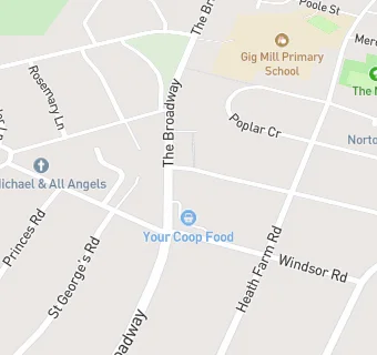
The Broadway
Norton
Stourbridge
DY83HXStourbridge
Food rating:
★★★★★
5/5 stars
Updated:
Food rating:
★★★★★
5/5 stars
Updated:
See all Supermarkets in Stourbridge.