BLOCLEats

The Co-operative Food

Whitemans Green
Cuckfield
Haywards Heath
RH175BY

Food rating: ★★★★★ 5/5 stars
Updated: 16. March 2024

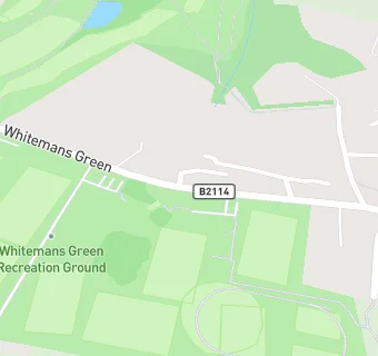
map for The Co-operative Food

Near The Co-operative …

  1. Supermarkets
  2. 1.9 miles★★★★★Sainsbury's, RH161DG
  3. 2.1 miles★★★★★Waitrose & Partners, RH163DP
  4. 2.2 miles★★★★★The Co-operative Food, RH164GH
  5. 2.4 miles★★★★★Tesco Express, RH163TH
  6. 2.4 miles★★★★★Iceland, RH164HT
  7. 2.4 miles★★★★★Marks & Spencer, RH163TH
  8. 2.7 miles★★★★★Sainsbury's Local, RH164EF
  9. 2.7 miles★★★★The Co-Operative, RH164DN
  10. Care Facilities
  11. 0.1 miles★★★★★Kiddie Capers Cuckfield, RH175HX
  12. 0.4 miles★★★★★Pelham House, RH175EU
  13. Bars & Nightclubs
  14. 0.5 miles★★★★★Rose And Crown, RH175BS
  15. Restaurants & Cafés
  16. 0.1 milesWhitemans Green Sports Club, RH175HX
  17. 0.4 miles★★★★★Cuckfield Golf Course, RH175HY
  18. Retail Stores
  19. 0.1 miles★★★★★Esso Cuckfield, RH175DA
  20. Takeaway Shops
  21. 0.5 miles★★★★★Kit's Snackery, RH175EL
  22. 0.5 miles★★★★★Cuckfield Recreation Ground,
  23. Schools Primary
  24. 0.7 milesHoly Trinity Church of England Primary School, Cuckfield, RH175BQ
  25. 1.7 milesHarlands Primary School, RH161PJ (455 pupils)
  26. 2.1 milesSt. Mark's CofE Primary School, RH176EN (104 pupils)
  27. 2.2 milesBolnore Village Primary School, RH164GD (423 pupils)
  28. Schools Secondary
  29. 1.0 mileWarden Park Secondary Academy, RH175DP (1526 pupils)

See all Supermarkets in Cuckfield.