The Co-operative Group
The Co-operative Group
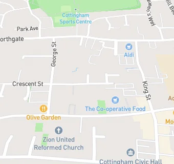
Crescent Street
Cottingham
East Riding Of Yorkshire
HU165QSEast Riding Of Yorkshire
Food rating:
★★★★★
5/5 stars
Updated:
Food rating:
★★★★★
5/5 stars
Updated:
See all Supermarkets in Kingston upon Hull.