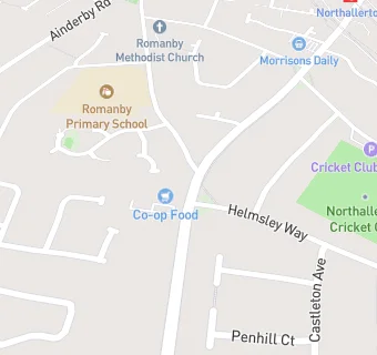
The Co-operative Group
The Co-operative Group
36 Boroughbridge Road
Romanby
DL78BEFood rating:
★★★★★
5/5 stars
Updated:
Food rating:
★★★★★
5/5 stars
Updated:
See all Supermarkets in Northallerton.