BLOCLEats

The Co-operative Group

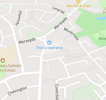
North-Eastern Co-Op Society Limited
Fewster Square
Leam Lane Estate
Gateshead
NE108XQ

Food rating: ★★★★★ 5/5 stars
Updated: 13. October 2022

map for The Co-operative Group

Near The Co-operative …

  1. Supermarkets
  2. 0.1 miles★★★★★Heron Frozen Foods Limited, NE108UP
  3. 1.2 miles★★★★★Asda, NE109PW
  4. 1.6 milesDe Africana, NE109LQ
  5. 2.0 miles★★★★★One Stop, NE372TE
  6. 2.1 miles★★★★★Asda Express Washington, NE371EZ
  7. 2.1 miles★★★★★N.E. Co-Op, NE372SU
  8. 2.1 miles★★★★★Morrisons, NE258HJ
  9. 2.1 miles★★★★★Co-Op, NE371EZ
  10. Bars & Nightclubs
  11. 0.1 miles★★★★★THE DURHAM RANGER, NE108JR
  12. Restaurants & Cafés
  13. 0.1 milesThe Welcome Ground, NE108HR
  14. 0.1 miles★★★★★Spring Leam Lane, NE108QH
  15. School Food Ratings
  16. 0.1 miles★★★★★St Augustines RC Primary School (Kitchen), NE108PP
  17. Chemists
  18. Fewster Square Pharmacy, NE108XQ
  19. 0.1 milesLeam Lane Pharmacy, NE108PE
  20. Dentists
  21. Indental Practice Limited, NE108XQ
  22. Doctors
  23. 0.2 milesLongrigg Medical Centre, NE108PH
  24. Schools Primary
  25. 0.1 milesSt Augustine's Catholic Primary School, Gateshead, NE108PP (331 pupils)
  26. 0.4 milesLingey House Primary School, NE108DN (443 pupils)
  27. 0.4 milesColegate Community Primary School, NE109AH (146 pupils)
  28. 0.4 milesRoman Road Primary School, NE108SA (220 pupils)
  29. 0.5 milesWhite Mere Community Primary School, NE108BA (136 pupils)

See all Supermarkets in Gateshead.