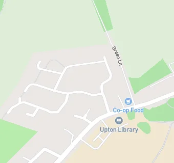
BLOCLEats

The Cooperative

Waggon Lane
Upton
Pontefract
WF91JT

Food rating: ★★★★★ 5/5 stars
Updated: 4. February 2020

map for The Cooperative

Near The Cooperative

  1. Supermarkets
  2. 1.8 miles★★★★★Home Bargains, WF92RN
  3. 1.9 miles★★★★★ASDA, WF92AD
  4. 1.9 miles★★★★★Aldi, WF92AA
  5. 3.1 miles★★★★★Co-Operative Retail Services, WF77NB
  6. 3.3 miles★★★★★Iceland, WF94LA
  7. 3.3 miles★★★★★Farmfoods, WF94LT
  8. 3.3 miles★★★★Tesco, WF94JY
  9. 3.4 miles★★★★★Home Bargains, WF94JX
  10. Care Facilities
  11. 0.2 miles★★★★★Upton Daycare @, WF91JS
  12. Catering Services
  13. 0.2 milesBless Community Services within, WF91JS
  14. Restaurants & Cafés
  15. 0.2 miles★★★★★The Cafe, WF91JS
  16. Retail Stores
  17. 0.1 miles★★★★★Food Bank @, WF91JS
  18. 0.2 miles★★★★★Friends of The Community @ Upton/North Elmsall Parish Counci, WF91JB
  19. School Food Ratings
  20. 0.1 miles★★★★★Dolce Ltd, WF91JS
  21. Takeaway Shops
  22. 0.1 miles★★★★Upton Pavillion Cafe, WF91JS
  23. 0.2 miles★★★★★Upton Oriental, WF91JX
  24. Schools Primary
  25. 0.1 milesUpton Primary School, WF91JS (463 pupils)
  26. 1.3 milesBadsworth Church of England Voluntary Controlled Junior and Infant School, WF91AJ (204 pupils)
  27. 1.5 milesAsh Grove Primary Academy, WF92TF (296 pupils)
  28. 2.0 milesSouth Elmsall Carlton Junior and Infant School, WF92QQ (456 pupils)
  29. Schools Secondary
  30. 1.4 milesMinsthorpe Community College, WF92UJ (1580 pupils)

See all Supermarkets in Adwick le Street.