BLOCLEats

The Cooperative Food

63 Crosslee Crescent
Houston
Johnstone
PA67DT

Food rating: Pass
Updated: 16. April 2024

map for The Cooperative Food

Near The Cooperative …

  1. Retail Stores
  2. 0.4 milesStrathyre Music Festival,
  3. 1.5 milesHugh Holmes & Sons, PA113PN
  4. 1.8 milesNisa Linwood, PA33PU
  5. 1.9 milesGreenfarm Licensed Grocer, PA33HQ
  6. 2.0 milesMorrisons Daily Johnstone, PA58SF
  7. 2.1 milesDavidsons Pharmacy, PA102EQ
  8. 2.1 milesIceland, PA58QG
  9. 2.2 milesPremier Off License, PA58AN
  10. Care Facilities
  11. 0.3 milesGryffe Manor Nursery, PA67BA
  12. 0.3 milesStrawberryfield After School Care, PA67BY
  13. Catering Services
  14. 0.2 milesRiver Inn, PA67AW
  15. School Food Ratings
  16. 0.1 milesHouston Primary School, PA67EJ
  17. 0.5 milesSt Fillans Primary, PA67EL
  18. Chemists
  19. 0.5 milesBoots UK Ltd, PA67AR
  20. Dentists
  21. 0.5 milesHouston Dental, PA67HW
  22. Doctors
  23. 0.5 milesStrathgryffe Medical Practice, PA67AR
  24. Schools
  25. 0.1 milesHouston Primary School, PA67EJ (534 pupils)
  26. 0.3 milesSt Fillan's Primary School, PA67EL (90 pupils)
  27. 0.5 milesGryffe High School, PA67EB (958 pupils)
  28. 1.4 milesEast Fulton Primary School, PA33SG (224 pupils)
  29. 1.5 milesBridge Of Weir Primary School, PA113QB (442 pupils)

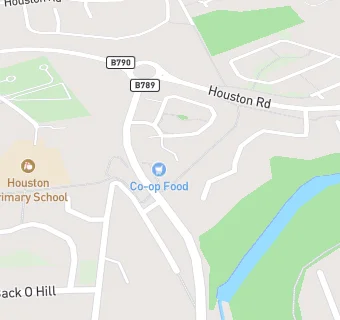
See all Retail Stores in Houston.