BLOCLEats

The Enterprise

38 Red Lion Street
London
WC1R4PN

Food rating: ★★★★★ 5/5 stars
Updated: 11. October 2023
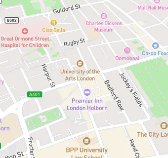
map for The Enterprise

Near The Enterprise

  1. Bars & Nightclubs
  2. 0.1 miles GRAVITY DRINKS, WC1N3GS
  3. 0.2 miles Horse & Wig, WC1V6HZ
  4. 0.2 miles ★★★★★Penderel's Oak, WC1V7HP
  5. 0.3 miles ★★★★★Truckles Wine Bar, WC1A2JR
  6. 0.3 miles ★★★★★The Pregnant Man, WC2A1JA
  7. 0.3 miles ★★★★★Shakespeare's Head, WC2B6BD
  8. 0.4 miles ★★★★★Club Soda Tasting Rooms, WC2B5RR
  9. 0.4 miles ★★★★★Three Tuns Bar and Venue, WC2A2AP
  10. Restaurants & Cafés
  11. ★★★★★Turo Turo, WC1X8SF
  12. LACON CAFE, WC1X8NL
  13. ROSHAN'S KITCHEN HOLBORN, WC1R4PN
  14. ★★★Woolleys, WC1X8SP
  15. 0.1 miles FIKA CATERING CO LTD, WC1V6EA
  16. 0.1 miles ★★★★★Itsu, WC1R4LR
  17. Retail Stores
  18. ★★★★★Puregym Holborn, WC1X8NL
  19. Doctors
  20. 0.1 miles Holborn Medical Centre, WC1N3NA
  21. Schools
  22. 0.2 miles University of the Arts London, WC1V7EY
  23. 0.2 miles City Junior School, WC1R5EY (144 pupils)
  24. 0.2 miles Children's Hospital School at Gt Ormond Street and UCH, WC1N3JH
  25. Schools 16 Plus
  26. 0.2 miles The Mary Ward Centre (AE Centre), WC1N3AQ
  27. Schools Primary
  28. 0.1 miles St George the Martyr Church of England Primary School, WC1N2NX (190 pupils)