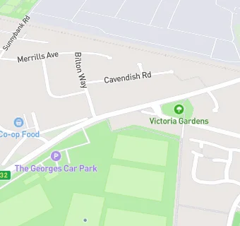
The Georges Community Centre
The Georges Community Centre
King George V Playing Fields
West Street
Crewe
CW28SJCrewe
Food rating:
★★★★★
5/5 stars
Updated:
Food rating:
★★★★★
5/5 stars
Updated:
See all Restaurants & Cafés in Crewe.