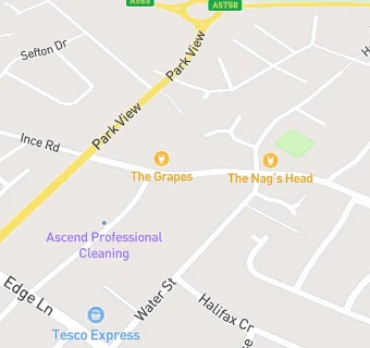
BLOCLEats

The Grapes

22 Green Lane
Thornton
Merseyside
L231TJ

Food rating: ★★★★★ 5/5 stars
Updated: 31. January 2023

map for The Grapes

Near The Grapes

  1. Bars & Nightclubs
  2. 0.1 miles★★★★★Nags Head, L231TJ
  3. 0.4 miles★★★★★Liverpool Ramblers AFC, L234TN
  4. 0.4 miles★★★★St William Of York Parish Centre, L234TG
  5. 0.6 miles★★★★★The Northern Club, L232SX
  6. 0.8 miles★★★★★All Saints with St Frideswyde Church Hall, L239TQ
  7. 0.9 miles★★★★★Crosby Hall Educational Trust, L234UA
  8. 1.1 miles★★★★★Cooksons Bridge, L210EJ
  9. 1.1 miles★★★★The Royal British Legion, L300QG
  10. Care Facilities
  11. 0.4 miles★★★★★Thornton Hall and Lodge, L231UB
  12. Retail Stores
  13. 0.1 milesThornton Parish Council, L231TJ
  14. School Food Ratings
  15. 0.2 milesHoly Family R.C. High School - CH&CO Catering Ltd, L234UL
  16. 0.3 miles★★★★★Caterlink @ Thornton College, L234TF
  17. Chemists
  18. 0.2 milesDay Lewis Pharmacy, L234TA
  19. Dentists
  20. 0.2 milesMr Ww Lee, L234TA
  21. 0.2 milesThornton Dental Practice, L234TA
  22. Doctors
  23. 0.3 milesGreat Crosby And Thornton, L231TQ
  24. Schools
  25. 0.3 milesJigsaw Primary Pupil Referral Unit, L231TY (4 pupils)
  26. 0.4 milesNewfield School, L234TG (110 pupils)
  27. Schools Primary
  28. 0.4 milesSt William of York Catholic Primary School, L239XH (239 pupils)
  29. Schools Secondary
  30. 0.2 milesHoly Family Catholic High School, L234UL (1009 pupils)
  31. 0.7 milesChesterfield High School, L239YB (1520 pupils)

See all Bars & Nightclubs in Crosby.