BLOCLEats

The Greystones

Greystones Road
Sheffield
S117BS

Food rating: ★★★★★ 5/5 stars
Updated: 24. May 2024

Food ratings

Confidence in management: 5
Hygiene: 5
Structural: 5
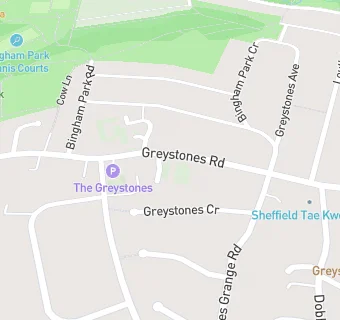
map for The Greystones

Near The Greystones

  1. Bars & Nightclubs
  2. 0.6 miles★★★★★Prince of Wales, S119PH
  3. 0.7 miles★★★★★Rising Sun Inn, S103QA
  4. 0.8 miles★★★★★Tapton Masonic Hall, S103BU
  5. 1.0 mile★★★★★The Itchy Pig Ale House, S102QE
  6. 1.2 miles★★★★★The Discovery Rutland Hotel, S102PY
  7. 1.2 miles★★★★★Lawn View Club House, S103RL
  8. 1.5 miles★★★★★Millhouses Park Cricket Pavilion, S72QL
  9. 1.6 miles★★★★★Bar One/Bar One Food, S102TG
  10. Care Facilities
  11. 0.2 miles★★★★★Greystones Preschool, S117GL
  12. Restaurants & Cafés
  13. 0.1 miles★★★★★St Gabriels Church Hall, S117JB
  14. 0.3 milesBistrobar, S118TH
  15. Supermarkets
  16. 0.3 miles★★★★★Co-op, S118SD
  17. 0.3 miles★★★★★Sainsburys, S118TP
  18. School Food Ratings
  19. 0.2 miles★★★★★Waterfall Elior, S117GL
  20. Doctors
  21. 0.2 milesGreystones Medical Centre, S117BJ
  22. 0.2 milesGreystones Medical Centre, S117BJ
  23. Schools Primary
  24. 0.2 milesGreystones Primary School, S117GL (636 pupils)
  25. 0.4 milesEcclesall Primary School, S117LG (620 pupils)
  26. 0.5 milesClifford All Saints CofE Primary School, S117PQ
  27. 0.6 milesNether Green Junior School, S103QA (381 pupils)
  28. Schools Secondary
  29. 0.5 milesHigh Storrs School, S117LH (1660 pupils)

See all Bars & Nightclubs in Sheffield.