BLOCLEats

The King Alfred

1 Burnt Hill Way
Lowestoft
Suffolk
NR338PB

Food rating: ★★★★★ 5/5 stars
Updated: 20. December 2010

Food ratings

Confidence in management: 5
Hygiene: 5
Structural: 5
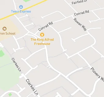
map for The King Alfred

Near The King …

  1. Bars & Nightclubs
  2. 0.4 miles★★★★★The Flying Dutchman, NR338QS
  3. 0.5 miles★★★★★Uplands Community Centre, NR338LJ
  4. 0.8 miles★★★★★Broadview, NR339JT
  5. 0.8 miles★★★★★Lady Of The Lake, NR339JT
  6. 0.8 miles★★★★★The Waveney, NR339JT
  7. 0.8 miles★★★★★Waveney & Oulton Broad Yacht Club, NR339JR
  8. 0.9 miles★★★★The Crown, NR338HL
  9. 1.0 mile★★★★The Commodore, NR323NE
  10. Care Facilities
  11. 0.3 miles★★★★★The Dell Care Home, NR339PL
  12. Retail Stores
  13. 0.4 milesDixons Newsagents (Unit 3), NR338LG
  14. Supermarkets
  15. 0.3 miles★★★★★Tesco Express, NR338QY
  16. School Food Ratings
  17. 0.2 miles★★★★★Lunchtime Company At Warren Special School, NR338HT
  18. Takeaway Shops
  19. 0.1 miles★★★★★New World, NR338PH
  20. Chemists
  21. 0.4 milesRosedale Pharmacy, NR338LG
  22. Doctors
  23. 0.4 milesRosedale Surgery, NR338LG
  24. 0.4 milesRosedale Surgery, NR338LG
  25. Schools
  26. 0.2 milesWarren School, NR338HT (131 pupils)
  27. Schools Primary
  28. 0.4 milesElm Tree Primary School, NR339HN (269 pupils)
  29. 0.5 milesGrove Primary School, NR338RQ (336 pupils)
  30. 0.6 milesDell Primary School, NR339NU (338 pupils)
  31. 0.8 milesWestwood Primary School, NR339RR (206 pupils)

See all Bars & Nightclubs in Lowestoft.