BLOCLEats

The King William Iv

The King William Iv
62 Broad Street
Staple Hill
Bristol
South Gloucestershire
BS165NP

Food rating: ★★★★★ 5/5 stars
Updated:

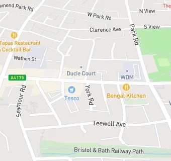
map for The King William Iv

Near The King …

  1. Bars & Nightclubs
  2. 0.2 miles★★★★★Portcullis, BS165HH
  3. 0.2 miles★★★★★501Bar, BS165NX
  4. 0.3 miles★★★★★The Staple Hill Oak, BS165HN
  5. 0.3 milesOld Mail House, BS165HW
  6. 0.4 miles★★★★★Downend Cricket Club, BS165UF
  7. 0.4 milesForester Arms, BS165RB
  8. 0.5 miles★★★★★The Crown Inn, BS165HP
  9. 0.5 miles★★★The Duck And Willow, BS165UE
  10. Restaurants & Cafés
  11. ★★★★★Shadin, BS165NL
  12. ★★★★★The Forge And Fern, BS165NL
  13. 0.1 miles★★★★★Blue Sky Cafe, BS165LR
  14. Retail Stores
  15. 0.1 miles★★★★★Greggs Plc, BS165LP
  16. 0.1 miles★★★★★Nom Wholefoods, BS165LP
  17. Supermarkets
  18. ★★★★★Tesco, BS165NP
  19. Takeaway Shops
  20. Shadin, BS165NL
  21. 0.1 miles★★★★★Chicken Bbq Fish Bar, BS165LP
  22. Schools
  23. 0.6 milesSoundwell Academy, BS164RL (133 pupils)
  24. Schools Primary
  25. 0.2 milesStaple Hill Primary School, BS164NE (305 pupils)
  26. 0.3 milesThe Tynings Primary School, BS164SG (326 pupils)
  27. 0.4 milesChrist Church, Church of England Junior School, Downend, BS165JJ (299 pupils)
  28. 0.4 milesChrist Church, Church of England Infant School, Downend, BS165TG (225 pupils)

See all Bars & Nightclubs in Bristol.