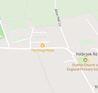
BLOCLEats

The Kings Head

Kings Head
Manningtree Road
Stutton
IPSWICH
IP92SW

Food rating: ★★★★★ 5/5 stars
Updated: 7. March 2024

map for The Kings Head

Near The Kings …

  1. Bars & Nightclubs
  2. 0.6 miles★★★★★The Gardeners Arms, IP92TG
  3. 1.6 miles★★★★★The Swan, IP92PZ
  4. 1.8 miles★★★★★Wheatsheaf P.H, IP92LY
  5. 2.2 miles★★The White Horse Inn, IP92NU
  6. 2.6 miles★★★★★Anchor Inn, CO111ND
  7. 2.8 miles★★★★★The Case is Altered, IP92DW
  8. 3.0 miles★★★★★The Royal Oak, CO76XA
  9. 3.0 miles★★★★Brantham Leisure Centre, CO111RZ
  10. Care Facilities
  11. 0.1 miles★★★★★Kim's Katering Ltd,
  12. Catering Services
  13. 0.3 miles★★★★★Stutton Young Explorers, IP92RY
  14. 0.5 miles★★★★★Nayland Care Agency Ltd, IP92TD
  15. Restaurants & Cafés
  16. 0.3 miles★★★★★Park Cafe, IP92RY
  17. Retail Stores
  18. 0.3 miles★★★★★Stutton Community Shop, IP92TA
  19. 1.5 milesPage Bros, IP92NG
  20. School Food Ratings
  21. 0.3 miles★★★★★Stutton Primary School, IP92RY
  22. 0.7 miles★★★★★Catering & Hospitality, IP92RX
  23. Schools
  24. 1.0 mileRoyal Hospital School, IP92RX (611 pupils)
  25. Schools Primary
  26. 0.2 milesStutton Church of England Primary School, IP92RY (74 pupils)
  27. 1.6 milesTattingstone Church of England Voluntary Controlled Primary School, IP92NA (59 pupils)
  28. 1.7 milesHolbrook Primary School, IP92PZ (185 pupils)
  29. Schools Secondary
  30. 1.8 milesHolbrook Academy, IP92QX (580 pupils)

See all Bars & Nightclubs in Stutton.