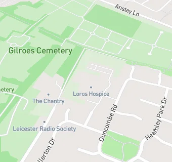
The Leicestershire And Rutland Hospice
The Leicestershire And Rutland Hospice
Leicestershire And Rutland Hospice
Groby Road
Leicester
LE39QELeicester
Food rating:
★★★★★
5/5 stars
Updated:
Food rating:
★★★★★
5/5 stars
Updated:
See all Care Facilities in Leicester.