The Light Cafe
The Light Cafe
The Salvation Army
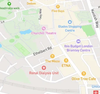
Ethelbert Road
Bromley
BR11HUBromley
Food rating:
★★★★★
5/5 stars
Updated:
Food rating:
★★★★★
5/5 stars
Updated:
See all Restaurants & Cafés in Bromley.