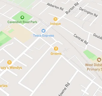
BLOCLEats

The Lime Tree

8 Lapwing Lane
Manchester
M202WS

Food rating: ★★★★★ 5/5 stars
Updated: 1. June 2022

map for The Lime Tree

Near The Lime …

  1. Restaurants & Cafés
  2. 0.4 miles★★★★★M & S Simply Food, M204BX
  3. 0.5 miles★★★★★Siemens Plc, M202UR
  4. 0.5 miles★★★★★Spire Manchester Hospital, M202AF
  5. 0.6 miles★★★★★Fuse, M203HE
  6. 0.6 miles★★★★Hollywood Burgers and Shakes, M203HB
  7. 0.6 miles★★★★★Basilico @ WPHI, M203ED
  8. 0.6 miles★★★★★Old Moat Childrens Centre, M201DE
  9. 0.7 miles★★★★★Home Community Cafe, M206TR
  10. Care Facilities
  11. 0.3 miles★★★★★The Christie NHS Foundation Trust Nursery, M203LJ
  12. Food Trucks
  13. 0.1 miles★★★★★Polly's Pantry, M202LN
  14. Catering Services
  15. 0.2 miles★★★★★The Albert Club, M202PA
  16. 0.3 miles★★★★★Color Chocolat, M203TF
  17. Bars & Nightclubs
  18. 0.3 miles★★★★Northern Lawn Tennis Club, M203YA
  19. School Food Ratings
  20. 0.1 miles★★★★★West Didsbury Primary School, M204ZA
  21. Chemists
  22. 0.3 milesSterling Pharmacy, M206UR
  23. Dentists
  24. 0.2 milesBurton Dental Care - Mr Al-Himdani, M201JP
  25. Schools
  26. 0.4 milesThe Birches School, M202XZ (169 pupils)
  27. 0.5 milesMoor Allerton Preparatory School, M202PW (270 pupils)
  28. 0.5 milesManchester Muslim Preparatory School, M202PQ (173 pupils)
  29. Schools Primary
  30. 0.1 milesCavendish Primary School, M201JG (683 pupils)
  31. 0.2 milesWest Didsbury CE Primary School, M204ZA (404 pupils)

See all Restaurants & Cafés in Manchester.