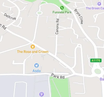
BLOCLEats

The Maltings

35 Watton Road
Ware
Hertfordshire
SG120AD

Food rating: ★★★★★ 5/5 stars
Updated: 29. March 2023

map for The Maltings

Near The Maltings

  1. Bars & Nightclubs
  2. ★★★★★Rose And Crown, SG120AD
  3. 0.1 miles★★★★Royal British Legion, SG120AG
  4. 0.2 miles★★★★★Old Bulls Head, SG129DZ
  5. 0.3 miles★★★★★The Brewery Tap, SG129AD
  6. 0.3 miles★★★★★Punch House, SG129EE
  7. 0.3 miles★★★Enoteca, SG129EE
  8. 0.4 miles★★★★★The Snug, SG129BY
  9. 0.4 miles★★★★★Rifle Volunteer, SG127LY
  10. Care Facilities
  11. 0.1 miles★★★★★Snowdrop House, SG129DT
  12. 0.1 miles★★★★★Angels At Play, SG120AJ
  13. 0.2 miles★★★★★Age Concern, SG120DE
  14. Restaurants & Cafés
  15. ★★★★★Asda Coffee Shop, SG120AD
  16. Retail Stores
  17. ★★★★★Ware Food Centre, SG120AD
  18. Supermarkets
  19. ★★★★★Asda, SG120AD
  20. School Food Ratings
  21. 0.1 miles★★★★★Orchard House Preschool, SG120AN
  22. Takeaway Shops
  23. ★★★★Sam's Fish And Chips, SG120AD
  24. Schools Primary
  25. 0.2 milesSt Catherine's Church of England Primary School, SG120AW (394 pupils)
  26. 0.4 milesSacred Heart Catholic Primary School, SG129HY (201 pupils)
  27. 0.4 milesKingshill Infant School, SG120RL (208 pupils)
  28. 0.5 milesSt Mary's Voluntary Controlled Church of England Junior School, SG120RL (234 pupils)
  29. Schools Secondary
  30. 0.3 milesThe Chauncy School, SG120DP (1466 pupils)

See all Bars & Nightclubs in Ware.