The Nags Head
The Nags Head
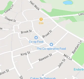
41 Cross Street
Enderby
Leicestershire
LE194NJLeicestershire
Food rating:
★★★★★
5/5 stars
Updated:
Food rating:
★★★★★
5/5 stars
Updated:
See all Bars & Nightclubs in Leicester.