BLOCLEats

The Nags Head

The Nags Head Public House
9 Orford Road
Walthamstow
E179LP

Food rating: ★★★★★ 5/5 stars
Updated: 8. March 2022

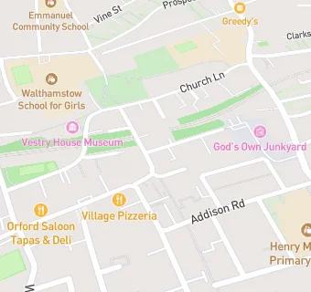
map for The Nags Head

Near The Nags …

  1. Bars & Nightclubs
  2. 0.1 miles★★★★★The Village Public House, E179NL
  3. 0.1 miles★★★★★Queens Arms, E179NJ
  4. 0.1 miles★★★★★Mother’s Ruin, E179HQ
  5. 0.2 miles★★★★★The Castle, E179LB
  6. 0.3 miles★★★★★Orford House Social Club & Institute Ltd, E179QL
  7. 0.4 miles★★★★★Pixie's, E173HX
  8. 0.4 miles★★★★★The Flower Pot, E173HX
  9. 0.4 miles★★★★Luke’s Cider Tap, E173HX
  10. Care Facilities
  11. ★★★★★Outlook Care, E179LR
  12. Restaurants & Cafés
  13. 0.1 miles★★★★★FoodCycle Walthamstow, E179RJ
  14. 0.1 milesThe Rolling Scones Cafe, E179HQ
  15. 0.1 miles★★★★★Ruttle & Rowe at St Mary's, E179RJ
  16. Retail Stores
  17. 0.1 miles★★★★★The Real Al Company, E179HQ
  18. Doctors
  19. 0.1 milesAddison Road Medical Practice, E179LY
  20. 0.1 milesThe Bailey Practice, E179LY
  21. 0.1 milesAddison Road Medical Practice, E179LY
  22. Schools Nursery
  23. 0.2 milesChurch Hill Nursery School, E179SB (95 pupils)
  24. Schools Primary
  25. 0.2 milesHenry Maynard Primary School, E179JE (787 pupils)
  26. 0.3 milesEmmanuel Community School, E173BN (159 pupils)
  27. 0.3 milesSt Mary's CofE Primary School, E179HJ (567 pupils)
  28. Schools Secondary
  29. 0.2 milesWalthamstow School for Girls, E179RZ (895 pupils)

See all Bars & Nightclubs in Islington.