BLOCLEats

The Nags Head

High Street
Lower Stoke
Rochester
Kent
ME39RA

Food rating: ★★★★★ 5/5 stars
Updated: 12. February 2024

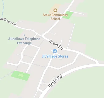
map for The Nags Head

Near The Nags …

  1. Bars & Nightclubs
  2. 1.6 miles★★★★★Haven All Hallows Box Bar, ME39QD
  3. 1.8 miles★★★★★The Huffkin Of Hoo, ME39QD
  4. 2.0 miles★★★★★Fenn Bell Inn, ME38RF
  5. 3.2 miles★★★★★The Red Dog, ME38SF
  6. 3.4 milesThe Hogarth Inn (Grain) Ltd, ME30BJ
  7. 3.8 miles★★★★★Five Bells, ME39BE
  8. 3.9 miles★★★★★Hoo Village Institute, ME39AA
  9. 3.9 miles★★★★★The Chequers Inn, ME39AL
  10. Care Facilities
  11. 0.7 miles★★★★★Chimnies, ME39PD
  12. Catering Services
  13. Bombay Chilli, ME39RA
  14. Restaurants & Cafés
  15. ★★★★★Rose's Tea Room, ME39RA
  16. 1.1 miles★★★★Heart And Soul, ME39PD
  17. Retail Stores
  18. 0.1 miles★★★★★Universal Stores, ME39RE
  19. Takeaway Shops
  20. ★★★★★Lower Stoke Chinese Takeaway, ME39RA
  21. Dentists
  22. The Post Office Practice, ME39RA
  23. Doctors
  24. 0.1 milesSt Werburgh Medical Practice, ME39ST
  25. Schools All Through
  26. 4.2 milesThe Hundred of Hoo Academy, ME39HH (1785 pupils)
  27. Schools Primary
  28. 0.2 milesPeninsula East Primary Academy, ME39HR (242 pupils)
  29. 3.1 milesLeigh Academy High Halstow, ME38TF (216 pupils)
  30. 3.5 milesSt James Church of England Primary Academy, ME30BS (192 pupils)
  31. 4.1 milesHoo St Werburgh Primary School and the Marlborough, ME39BS (567 pupils)

See all Bars & Nightclubs in Lower Stoke.