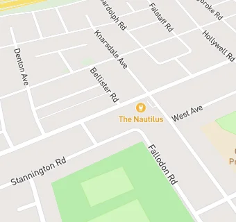
BLOCLEats

The Nautilus

Nautilus
Verne Road
North Shields
Tyne And Wear
NE297DL

Food rating: ★★★★★ 5/5 stars
Updated: 12. March 2018

map for The Nautilus

Near The Nautilus

  1. Bars & Nightclubs
  2. 0.3 miles★★★★★Preston Grange Community Centre, NE299DL
  3. 0.3 miles★★★★★The Pineapple Inn, NE297BH
  4. 0.4 miles★★★★★The Redburn, NE297AF
  5. 0.6 miles★★★★★Chirton Social Club, NE290JT
  6. 0.8 miles★★★★★The Alexandra, NE299AL
  7. 0.8 miles★★★★★Percy Main Cricket Club, NE296HS
  8. 0.9 miles★★★★★North Shields Catholic Club, NE290DQ
  9. 1.0 mile★★★★★Charlies Bar, NE290BG
  10. Logistics Providers
  11. 0.3 miles★★★★★M & G Meats, NE297EN
  12. Restaurants & Cafés
  13. 0.2 miles★★★★★Coffee And Cream Cafe, NE297JD
  14. Retail Stores
  15. Well Pharmacy, NE297DR
  16. 0.1 miles★★★★★Singh Premier Stores, NE297DR
  17. 0.3 miles★★★★★The Food Warehouse, NE297UJ
  18. School Food Ratings
  19. 0.2 miles★★★★★Collingwood Primary School, NE297JQ
  20. Takeaway Shops
  21. 0.1 miles★★★★★Jazzs Fish Bar, NE297DR
  22. Chemists
  23. Well, NE297DR
  24. Schools Primary
  25. 0.2 milesCollingwood Primary School, NE297JQ (330 pupils)
  26. 0.4 milesSt Joseph's Catholic Primary School, North Shields, NE297BT (249 pupils)
  27. 0.7 milesWhitehouse Primary School, NE298PE (161 pupils)
  28. Schools Secondary
  29. 0.2 milesNorham High School, NE297BU (411 pupils)
  30. 0.6 milesSt Thomas More Catholic High School, NE298LF (1619 pupils)

See all Bars & Nightclubs in Tynemouth.