The Prince of Wales
The Prince of Wales
The Prince Of Wales
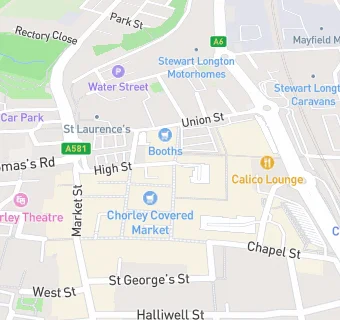
New Market Street
Chorley
PR71DBChorley
Food rating:
★★★★★
5/5 stars
Updated:
Food rating:
★★★★★
5/5 stars
Updated:
See all Bars & Nightclubs in Chorley.