BLOCLEats

The Queens Head

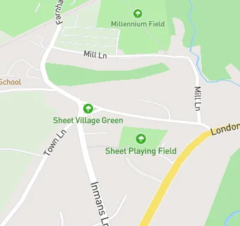
The Queens Head Village Street Sheet Petersfield GU32 2AH
GU322AH

Food rating: ★★★★★ 5/5 stars
Updated: 3. October 2023

map for The Queens Head

Near The Queens …

  1. Bars & Nightclubs
  2. 0.1 miles★★★★The Half Moon, GU314BE
  3. 0.5 milesCM Sports, GU314BP
  4. 0.6 miles★★★★★The Harrow Inn, GU322DA
  5. 0.7 miles★★★★★Herne Farm Leisure Centre, GU314PJ
  6. 0.7 milesSteep Cricket Club, GU322DB
  7. 0.7 miles★★★★★Petersfield Town FC, GU314BW
  8. 0.9 miles★★★★★Red Lion, GU314AE
  9. 0.9 miles★★★The Good Intent, GU314AF
  10. Care Facilities
  11. 0.1 miles★★★★★Little School at Pooh Corner, GU322NA
  12. Retail Stores
  13. 0.5 miles★★★★★Asda Express Ramshill PFS, GU314AT
  14. 0.5 miles★★★★★Greggs, GU314AT
  15. School Food Ratings
  16. 0.2 miles★★★★★Sheet Primary School, GU322AS
  17. 0.2 miles★★★★★JC Sports Online at Sheet Primary School, GU322AS
  18. 0.5 miles★★★★★Churchers College, GU314AS
  19. 0.5 miles★★★★★Herne Junior School, GU314BP
  20. Takeaway Shops
  21. 0.5 milesSubway, GU314AT
  22. Schools
  23. 0.5 milesChurcher's College, GU314AS (1303 pupils)
  24. Schools Primary
  25. 0.2 milesSheet Primary School, GU322AS (109 pupils)
  26. 0.6 milesHerne Junior School, GU314BP (478 pupils)
  27. 1.0 mileSteep Church of England Voluntary Controlled Primary School, GU322DE (99 pupils)
  28. 1.1 milesPetersfield Infant School, GU323HX (303 pupils)

See all Bars & Nightclubs in Petersfield.