BLOCLEats

The Royal Air Forces Association

West End
Rothbury
Northumberland
NE657TU

Food rating: ★★★★★ 5/5 stars
Updated: 19. June 2024

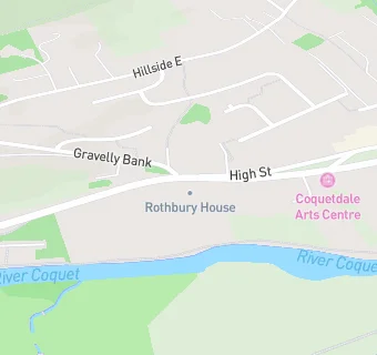
map for The Royal Air Forces Association

Near The Royal …

  1. Care Facilities
  2. 0.2 miles★★★★★Rothbury Cottage Care, NE657RW
  3. 0.6 miles★★★★★Rothbury Kindergarten, NE657PN
  4. 5.3 miles★★★★★St Marys Nursery Hexham Ltd, NE462EE
  5. 5.3 miles★★★★★Hareside Out of School Club, NE236BL
  6. 5.3 miles★★★★★Harwood Court Methodist Home, NE236AZ
  7. 5.3 miles★★★★★Henderson Court - McCarthy & Stone, NE209GY
  8. 5.3 miles★★★★★Rose Tree Care Home, NE437LY
  9. 5.3 miles★★★★★Dinotots Cramlington, NE236DT
  10. Bars & Nightclubs
  11. 0.2 miles★★★★★The Turks Head, NE657TE
  12. 0.2 miles★★★★★The Narrow Nick, NE657TD
  13. Restaurants & Cafés
  14. 0.2 miles★★★The Vale Cafe, NE657TE
  15. Retail Stores
  16. 0.2 milesBoots UK Ltd, NE657TB
  17. 0.2 miles★★★★Tullys of Rothbury, NE657TB
  18. Takeaway Shops
  19. 0.1 miles★★★★Rothbury Fish & Chip Shop, NE657TH
  20. Chemists
  21. 0.2 milesBoots, NE657TB
  22. Doctors
  23. 0.2 milesThe Rothbury Practice, NE657RW
  24. Schools Middle Deemed Secondary
  25. 0.7 milesDr Thomlinson Church of England Middle School, NE657RJ (193 pupils)
  26. Schools Primary
  27. 0.3 milesRothbury First School, NE657PG (78 pupils)
  28. 1.4 milesThropton Village First School, NE657JD (45 pupils)
  29. 6.4 milesWhittingham Church of England Primary School, NE664UP (91 pupils)
  30. 7.0 milesSwarland Primary School, NE659JP (88 pupils)

See all Care Facilities in Rothbury.