The Saints
The Saints
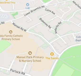
Mansel Road West
Southampton
SO169LPFood rating:
★★★★★
5/5 stars
Updated:
Food ratings
Confidence in management: 5
Hygiene: 5
Structural: 5
Food rating:
★★★★★
5/5 stars
Updated:
Food ratings
Confidence in management: 5
Hygiene: 5
Structural: 5
See all Bars & Nightclubs in Southampton.