The Salvation Army
The Salvation Army
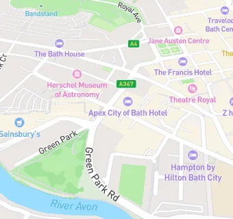
Green Park Road
City Centre
Bath
Bath And North East Somerset
BA11XEBath
Bath And North East Somerset
Food rating:
★★★★★
5/5 stars
Updated:
Food ratings
Confidence in management: 5
Hygiene: 5
Structural: 5