BLOCLEats

The Salvation Army

Sturrock Street
Kilmarnock
East Ayrshire
KA13AH

Food rating: Pass
Updated: 30. March 2023

map for The Salvation Army

Near The Salvation …

  1. Restaurants & Cafés
  2. 0.1 milesStrathclyde Police, KA11TJ
  3. 0.1 milesThe Coffee Trader, KA11LN
  4. 0.1 milesRiverside Carvery, KA11DU
  5. 0.1 milesBrown Munde, KA13DD
  6. 0.1 milesGalo's Peri Peri, KA11PG
  7. 0.1 milesCosta Coffee Ltd, KA11HZ
  8. 0.1 milesAngelo's, KA11HX
  9. 0.1 milesGlobal Market, KA11LJ
  10. Care Facilities
  11. 0.1 milesPEACE Loanhead Childcare, KA13AP
  12. Retail Stores
  13. Boots The Chemists Ltd, KA11PA
  14. 0.1 milesHolland and Barrett, KA11HZ
  15. 0.1 milesArgos Distributors Ltd, KA11LT
  16. Supermarkets
  17. Marks & Spencer, KA11PB
  18. Takeaway Shops
  19. 0.1 milesNew Hot Wok Noodle Bar, KA11PG
  20. 0.1 milesA Slice Neapolitan Pizzaria, KA11PH
  21. Chemists
  22. Boots The Chemists Ltd, KA11PA
  23. Schools
  24. 0.2 milesLoanhead Primary School, KA13AU (283 pupils)
  25. 0.5 milesWillowbank School, KA37BB (104 pupils)
  26. 0.7 milesAnnanhill Primary School, KA12EW (470 pupils)
  27. 0.7 milesPark School, KA12EW (189 pupils)
  28. 0.7 milesGrange Academy, KA12EW (1229 pupils)

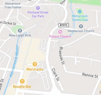
See all Restaurants & Cafés in Kilmarnock.