BLOCLEats

The Salvation Army, Hoyland Common Corps

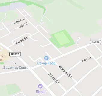
Salvation Army Church And Community Centre
Central Street
Hoyland Common
S740FG

Food rating: ★★★★★ 5/5 stars
Updated: 2. February 2022

map for The Salvation Army, Hoyland Common Corps

Near The Salvation …

  1. Restaurants & Cafés
  2. 0.1 miles★★★★★Tinkers Cafe, S740PB
  3. 0.4 miles★★★★★Starbucks, S740SB
  4. 0.5 miles★★★★★Dunkin Donuts, S705TW
  5. 0.5 miles★★★★★McDonalds, S705SZ
  6. 0.6 miles★★★★★Costa, S705SZ
  7. 0.6 miles★★★★★Taco Bell, S705SZ
  8. 0.6 miles★★★★★The Stage Door, S705TU
  9. 0.7 milesLou's Little Treats, S740HR
  10. Bars & Nightclubs
  11. 0.1 miles★★★★★Hoyland Common W.M.C., S740NJ
  12. 0.1 miles★★★Hare And Hounds Inn, S740DQ
  13. 0.1 miles★★★★★Saville Square, S740DQ
  14. 0.1 miles★★★★★The Star Hotel, S740PB
  15. Retail Stores
  16. 0.1 miles★★★★★MFG Hoyland Common, S740DP
  17. Takeaway Shops
  18. 0.1 miles★★★★★Sanchez, S740LY
  19. Chemists
  20. 0.1 milesWell, S740LY
  21. Dentists
  22. 0.1 milesFern Cottage Dental Practice, S740PB
  23. Schools Primary
  24. 0.1 milesHoyland Common Primary School, S740DJ (408 pupils)
  25. 0.4 milesWest Meadows Primary School, S749ET (230 pupils)
  26. 0.7 milesTankersley St Peter's CofE (Aided) Primary School, S753DA (220 pupils)
  27. 0.8 milesSt Helen's Catholic Primary School, S749DL (117 pupils)
  28. Schools Secondary
  29. 0.7 milesKirk Balk Academy, S749HX (1333 pupils)

See all Restaurants & Cafés in Hoyland Nether.