The Salvation Army Trading Co Community Fridge
The Salvation Army Trading Co Community Fridge
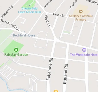
Foljambe Road
Chesterfield
S401NJFood rating:
★★★★★
5/5 stars
Updated:
Food rating:
★★★★★
5/5 stars
Updated:
See all Retail Stores in Chesterfield.