BLOCLEats

The Shawl

25 High Street
London
NW104NE

Food rating: ★★★★★ 5/5 stars
Updated: 24. April 2019

Food ratings

Confidence in management: 5
Hygiene: 5
Structural: 5
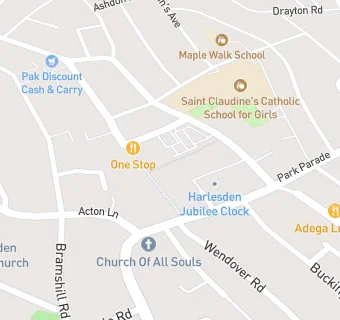
map for The Shawl

Near The Shawl

  1. Bars & Nightclubs
  2. 0.1 miles★★★★The Green Man Pub, Restaurant & Tapas Bar, NW104TS
  3. 0.1 miles★★★★Villa Country Club, NW104HT
  4. 0.1 miles★★★★★Royal Oak, NW104TS
  5. 0.2 milesStation 57, NW104UX
  6. 0.2 milesGreen Ariana, NW104UP
  7. 0.2 miles★★★★Angie's, NW104TR
  8. 0.2 miles★★★★★Sportsman, NW104UA
  9. 0.4 miles★★★The Fishermans Arms (Pub Only), NW106UB
  10. Restaurants & Cafés
  11. ★★★★★Blakes Coffee House, NW104NJ
  12. Retail Stores
  13. ★★★★Harlesden's Food Bank (Fresh Horizons CNB), NW104NE
  14. Superdrug, NW104LS
  15. ★★★★Hastee Fresh Fish Supermarket, NW104LT
  16. Supermarkets
  17. ★★★★★ALING SAS SARI-SARI STORE, NW104LS
  18. Takeaway Shops
  19. Smesh Burgir, Grilldo's, Diagona UK, Buble, NW104NE
  20. ★★★★★Subway, NW104LS
  21. ★★★★★Burger King, NW104NG
  22. Schools
  23. 0.2 milesMaple Walk School, NW104EB (174 pupils)
  24. 0.3 milesRoundwood School and Community Centre, NW103UN (22 pupils)
  25. Schools Primary
  26. 0.1 milesJohn Keble CofE Primary School, NW104DR (393 pupils)
  27. 0.3 milesHarlesden Primary School, NW108UT (288 pupils)
  28. Schools Secondary
  29. 0.1 milesSaint Claudine's Catholic School for Girls, NW104EP (973 pupils)

See all Bars & Nightclubs in City of Westminster.