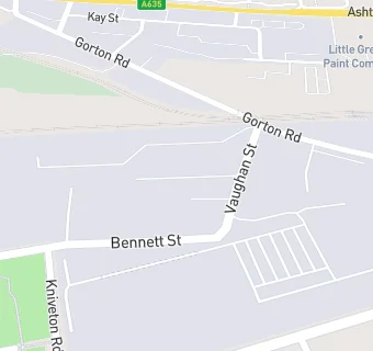
BLOCLEats

The Space Project

Vaughan Street
Manchester
M125FQ

Food rating: ★★★★★ 5/5 stars
Updated: 29. January 2020

map for The Space Project

Near The Space …

  1. Restaurants & Cafés
  2. 0.2 miles★★★★★Pepper House Cafe Ltd, M112DZ
  3. 0.3 miles★★★★★Bridge College, M112GR
  4. 0.4 miles★★★★★El Ammar Bakery Cafe, M112DW
  5. 0.5 miles★★★★★Starbucks, M112WH
  6. 0.5 miles★★★★★The Manchester College Coffee Shop, M112WH
  7. 0.6 miles★★★★★Cypresshawk, M126JH
  8. 0.6 miles★★★★★The Butty Hatch, M112AZ
  9. 0.7 miles★★★★★Taste the Love, M124AH
  10. Care Facilities
  11. 0.3 miles★★★★★Happy Kids Pre-school Nursery, M113TP
  12. Manufacturers
  13. 0.1 miles★★★★★Marco Reas Ice Cream, M125DA
  14. Catering Services
  15. 0.3 miles★★★★West Gorton Food Bank, M125HX
  16. Retail Stores
  17. 0.3 milesKMIC Food Bank, M112DT
  18. School Food Ratings
  19. 0.3 miles★★★★★Armitage Cofe Primary School, M125NP
  20. Chemists
  21. 0.3 milesCohens Chemist, M125JE
  22. Doctors
  23. 0.3 milesCornerstone Family Practice, M113AA
  24. 0.3 milesWest Gorton Medical Centre, M125JE
  25. Schools
  26. 0.4 milesBridge College, M112GR
  27. Schools 16 Plus
  28. 0.5 milesLTE Group, M112WH
  29. Schools Primary
  30. 0.3 milesArmitage CofE Primary School, M125NP (499 pupils)
  31. 0.5 milesSt Francis RC Primary School, A Voluntary Academy, M125LZ
  32. Schools Secondary
  33. 0.5 milesThe East Manchester Academy, M113DS (999 pupils)

See all Restaurants & Cafés in Manchester.