BLOCLEats

The Stags Head

45-47 Fowler Street
South Shields
Tyne & Wear
NE331NS

Food rating: ★★★★★ 5/5 stars
Updated: 11. October 2017

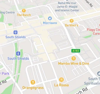
map for The Stags Head

Near The Stags …

  1. Bars & Nightclubs
  2. Canny Corner, NE331LZ
  3. 0.1 miles ★★★★★The Ship & Royal, NE332HT
  4. 0.1 miles ★★★★★The Voyager, NE332RJ
  5. 0.1 miles ★★★★★Charlies Bar, NE332LR
  6. 0.1 miles ★★★★Madleys, NE331TA
  7. 0.1 miles ★★★★★Club Del Mar, NE332HZ
  8. 0.1 miles ★★★★★THE FRANKLIN CLUB, NE331PR
  9. 0.1 miles ★★★★★Buzz Bingo, NE332LR
  10. Food Trucks
  11. ★★★★★Hospitality and Hope Community Shop, NE331NS
  12. Restaurants & Cafés
  13. ★★★★Redragon Restaurant, NE331PP
  14. ★★★★★Grace Place, NE332LR
  15. 0.1 miles ★★★★★Cafe Nero plc, NE331DA
  16. Retail Stores
  17. ★★★★★The Handy Shop, NE331NS
  18. 0.1 miles ★★★★★Holland & Barrett, NE331HT
  19. Takeaway Shops
  20. ★★★★★Greggs, NE331NE
  21. Dentists
  22. South Tyneside Orthodontic Centre Ltd, NE331PU
  23. Schools Primary
  24. 0.2 miles Marine Park Primary School, NE332RD
  25. 0.3 miles St Bede's Catholic Primary School, South Shields, NE334PG (232 pupils)
  26. 0.4 miles Hadrian Primary School, NE332BB (274 pupils)
  27. 0.6 miles Westoe Crown Primary School, NE333NS (657 pupils)
  28. 0.7 miles Laygate Community School, NE334JJ (250 pupils)