BLOCLEats

The Steam Railway

14 Newport Street
Old Town
Swindon
SN13DX

Food rating: ★★★★★ 5/5 stars
Updated: 15. August 2024

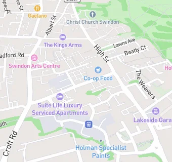
map for The Steam Railway

Near The Steam …

  1. Bars & Nightclubs
  2. 0.1 miles★★★★★Route 66, SN14AN
  3. 0.1 miles★★★★★The Plough Inn, SN14BQ
  4. 0.1 miles★★★★★High Street Club Ltd, SN13EP
  5. 0.1 miles★★★★★The Tuppenny, SN14BD
  6. 0.1 miles★★★★Wheatsheaf Ale House, SN13DP
  7. 0.1 miles★★★★★Hop Kettle Tap & Brew, SN14BG
  8. 0.1 miles★★★★★Tree Nightclub, SN13RA
  9. 0.1 miles★★★★★The Hop Inn, SN14BH
  10. Restaurants & Cafés
  11. 0.1 miles★★★★★The Salvation Army, SN14BG
  12. 0.1 miles★★★★★Ian Bowyer Catering, SN31QP
  13. Supermarkets
  14. 0.1 miles★★★★★The Midcounties Co-operative Foodstore, SN13EG
  15. Takeaway Shops
  16. ★★★Pizza & Co, SN13DX
  17. 0.1 miles★★★★★Domino's Pizza, SN13EG
  18. 0.1 miles★★★★★Old Town Kebab House, SN13EG
  19. Dentists
  20. 0.1 milesMr B Nedjati-Gilani, SN14BH
  21. Doctors
  22. 0.1 milesThe Hermitage Surgery, SN13EF
  23. Schools Primary
  24. 0.2 milesLethbridge Primary School, SN14BY (487 pupils)
  25. 0.3 milesThe Croft Primary School, SN31RA (421 pupils)
  26. 0.3 milesKing William Street Church of England Primary School, SN13LB (205 pupils)
  27. 0.6 milesHoly Rood Catholic Primary School, SN12LU (389 pupils)
  28. Schools Secondary
  29. 0.6 milesThe Commonweal School, SN14JE (1398 pupils)

See all Bars & Nightclubs in Swindon.