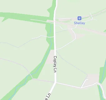
BLOCLEats

The Turntable

Shelley Light Railway Station
Copley Lane
Shelley
Huddersfield
HD88LZ

Food rating: ★★★★★ 5/5 stars
Updated: 29. May 2024

map for The Turntable

Near The Turntable

  1. Retail Stores
  2. 0.7 miles★★★★★Village Store And Newsagents, Upper Cumberworth Post Office, HD88NU
  3. 1.0 mile★★★★★Central England Co-operative, HD88BL
  4. 1.0 mile★★★★★Morrisons Daily, HD88HN
  5. 1.5 miles★★★Bels Bakery, HD88RP
  6. 1.5 miles★★★★★David Gawthorpe Butchers, HD88RT
  7. 1.5 milesPlasterline Ltd, HD88TH
  8. 1.5 miles★★★GG'S Artisan Bakery, HD88RP
  9. 1.5 miles★★★★★Utterly Yorkshire 2021, HD88RT
  10. Care Facilities
  11. 0.5 miles★★★★Barncliffe Day Nursery Unit 18, HD88LU
  12. Food Trucks
  13. 0.7 miles★★★★★Big Yellow Chippy Bus, HD88LT
  14. Catering Services
  15. 0.6 miles★★★★★Hall Royd Food Co, HD88EZ
  16. 0.8 miles★★★★★United Methodist Church Hall, HD88HT
  17. Bars & Nightclubs
  18. 0.7 miles★★★★★The Star, HD88NS
  19. Restaurants & Cafés
  20. 0.5 miles★★★★★KIN (Yorkshire) Ltd, HD88LU
  21. School Food Ratings
  22. 0.7 miles★★★★★Cumberworth CE First School, HD88NU
  23. 0.8 miles★★★★★OCS Group UK Ltd, HD88HU
  24. Schools Primary
  25. 0.7 milesCumberworth Church of England Voluntary Aided First School, HD88NU (116 pupils)
  26. 0.8 milesShepley First School, HD88DD (168 pupils)
  27. 0.9 milesShelley First School, HD88HU (182 pupils)
  28. 1.3 milesBirdsedge First School, HD88XR (45 pupils)
  29. Schools Secondary
  30. 1.0 mileShelley College, A Share Academy, HD88NL (1300 pupils)

See all Retail Stores in Huddersfield.