BLOCLEats

The Westbourne

90 Portland Road
Hove
Brighton & Hove
BN35DN

Food rating: ★★★★★ 5/5 stars
Updated: 28. August 2019

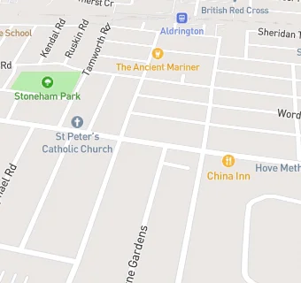
map for The Westbourne

Near The Westbourne

  1. Bars & Nightclubs
  2. 0.1 milesAldrington Club, BN35DL
  3. 0.2 milesBefore...the Devil Knows You're Dead, BN35QJ
  4. 0.2 miles★★★★★The Silver Turtle Kitchen At The Ancient Mariner, BN35FE
  5. 0.2 miles★★★★★Pickled Oyster At The Stoneham, BN35QJ
  6. 0.2 miles★★★★★The Ancient Mariner, BN35FE
  7. 0.2 miles★★★★★The Poets Corner, BN35BF
  8. 0.2 miles★★★★★Stoneham(wet Sales), BN35QJ
  9. 0.3 miles★★★★★The George Payne, BN35HB
  10. Restaurants & Cafés
  11. ★★★★★Primal Burgers, BN35DN
  12. ★★★★★Mila's Cafe, BN35DP
  13. ★★★★★Tea Leaf Cafe, BN35DP
  14. ★★★★★Pit And Pal, BN35DN
  15. ★★★★★WH Payne, BN35DN
  16. Retail Stores
  17. ★★★★★Asiana Grocery, BN35DP
  18. Takeaway Shops
  19. ★★★★★Chip Basket, BN35DP
  20. Chemists
  21. Portland Pharmacy, BN35DP
  22. Schools
  23. 0.2 milesSt Christopher's School, BN34AD (271 pupils)
  24. 0.3 milesThe Lioncare School, BN35HD (11 pupils)
  25. 0.3 milesBrighton and Hove Clinic School, BN34FH (15 pupils)
  26. Schools Primary
  27. 0.4 milesWest Hove Infant School, BN35JA (491 pupils)
  28. 0.4 milesSt Andrew's CofE (Aided) Primary School, BN33YT (639 pupils)

See all Bars & Nightclubs in Brighton.