The Westside Club
The Westside Club
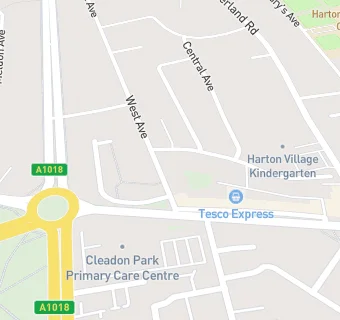
6 West Avenue
South Shields
Tyne & Wear
NE346QUTyne & Wear
Food rating:
★★★★★
5/5 stars
Updated:
Food rating:
★★★★★
5/5 stars
Updated:
See all Bars & Nightclubs in South Shields.