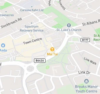
BLOCLEats

The White Hart

Queensway
Hatfield
Hertfordshire
AL100LW

Food rating: ★★★★ 4/5 stars
Updated: 5. June 2024

map for The White Hart

Near The White …

  1. Bars & Nightclubs
  2. 0.1 miles★★★★★Franks Pool Club, AL100JW
  3. 0.5 miles★★★★★The Great Northern, AL95AE
  4. 0.5 milesThe Airfield PH & Travel Inn, AL100DA
  5. 0.5 miles★★★★★The Red Lion, AL95EU
  6. 0.5 miles★★★★Airfield Brewers Fayre, AL100DA
  7. 0.5 miles★★★★★Eight Bells, AL95AX
  8. 0.5 miles★★★★Horse And Groom, AL95AT
  9. 0.5 miles★★★★★Hatfield Social Club, AL95ER
  10. Food Trucks
  11. ★★★Hatfield Best Kebab Van, AL100LW
  12. Catering Services
  13. ★★★★Taste It, AL100LJ
  14. Restaurants & Cafés
  15. ★★★★★Cake Hut, AL100JY
  16. Retail Stores
  17. ★★★Hatfield Fresh Meat & Groceries, AL100LJ
  18. Pak Halal Butchers, AL100JY
  19. Takeaway Shops
  20. ★★★★★Point One African Restaurant, AL100JY
  21. ★★★★Tops Pizza, AL100LJ
  22. ★★★Shamiana Takeaway, AL100JY
  23. Schools
  24. 0.3 milesSouthfield School, AL108NN (88 pupils)
  25. Schools Primary
  26. 0.3 milesCountess Anne Church of England School, AL108AX (211 pupils)
  27. 0.3 milesHatfield Community Free School, AL108ES (418 pupils)
  28. Schools Secondary
  29. 0.3 milesBishop's Hatfield Girls' School, AL108NL (949 pupils)
  30. 0.3 milesOnslow St Audrey's School, AL108AB (792 pupils)

See all Bars & Nightclubs in St Albans.