BLOCLEats

The White House

Public House
570 Hertford Road
ENFIELD
EN35SU

Food rating: ★★★★★ 5/5 stars
Updated: 25. January 2020

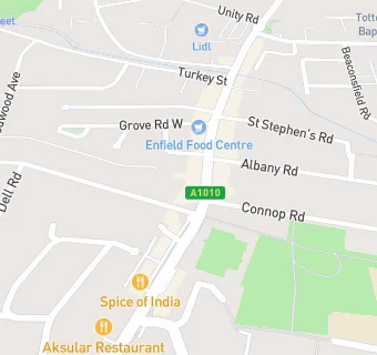
map for The White House

Near The White …

  1. Bars & Nightclubs
  2. 0.2 miles★★★Sun And Woolpack, EN36LZ
  3. 0.2 miles★★★★★Prince Albert Enfield, EN36UP
  4. 0.2 miles★★★★★Enfield Highway Conservative Club, EN36LZ
  5. 0.4 miles★★★★★Lion, EN35PP
  6. 0.6 miles★★★★The Railway Inn, EN36HA
  7. 0.7 miles★★★Old Ignatian Association Ltd, EN14NW
  8. 0.9 miles★★★The Sporting Green, EN35JF
  9. 1.0 mile★★★★★Inn on the Park, EN37XY
  10. Catering Services
  11. ★★★★★William Hill, EN35UA
  12. ★★★★★Restore Community, EN35UA
  13. 0.1 miles★★★★Anytime Childcare CIC ( Food Bank), EN35FB
  14. Restaurants & Cafés
  15. 0.1 miles★★★EN3 Cafe & Bistro, EN35SS
  16. Retail Stores
  17. ★★★★★Kash Convenience Store & Post Office, EN35SU
  18. Takeaway Shops
  19. ★★★★Flavas Chicken, EN35SU
  20. ★★★★★Panda Oriental, EN35UA
  21. 0.1 miles★★★★★Pizza Go Go, EN35UL
  22. Schools
  23. 0.4 milesSalmons Brook School, EN35PB (44 pupils)
  24. Schools All Through
  25. 0.3 milesArk John Keats Academy, EN35PA (1771 pupils)
  26. Schools Primary
  27. 0.2 milesEastfield Primary School, EN35UX (445 pupils)
  28. 0.4 milesEnfield Heights Academy, EN35BY (196 pupils)
  29. 0.4 milesChesterfield Primary School, EN36BG (515 pupils)

See all Bars & Nightclubs in Enfield Town.