BLOCLEats

The White House

375 Scraptoft Lane
Scraptoft
Leicestershire
LE79SE

Food rating: ★★★★★ 5/5 stars
Updated: 8. October 2019

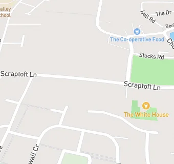
map for The White House

Near The White …

  1. Bars & Nightclubs
  2. 0.5 miles ★★★★The Stirrup Cup, LE52NG
  3. 1.0 mile ★★★★★Aylestone Saint James RFC, LE79SQ
  4. 1.0 mile ★★★★★The Rose And Crown, LE79PJ
  5. 1.3 miles ★★★★★The Dove, LE56LH
  6. 1.7 miles ★★★★★Dog And Gun, LE79JQ
  7. 1.9 miles ★★★★★The Cedars, LE56DN
  8. 2.0 miles ★★★★Crown Hills Hotel, LE54FF
  9. 2.1 miles ★★★The Lancaster Arms, LE54PA
  10. Care Facilities
  11. ★★★★★The Scraptoft Day Nursery, LE79SE
  12. 0.1 miles ★★★★Bow Lodge, LE52HU
  13. 0.3 miles ★★★★★Hambleton House, LE52HU
  14. Retail Stores
  15. 0.2 miles ★★★★★Pear Tree Stores, LE79TD
  16. 0.3 miles ★★★★★Best One Nick's Off-Licence, LE51LL
  17. Supermarkets
  18. 0.2 miles ★★★★★Central England Co-operative, LE79TD
  19. School Food Ratings
  20. 0.2 miles ★★★★★Scraptoft Valley Primary School, LE51NG
  21. 0.2 miles ★★★★★Scraptoft Valley Primary School Before And After School Club, LE51NG
  22. Schools
  23. 0.4 miles Elmbrook School, LE51DT (17 pupils)
  24. Schools Primary
  25. 0.4 miles Scraptoft Valley Primary School, LE51NG (454 pupils)
  26. 0.5 miles St Josephs Catholic Academy, LE51HF (242 pupils)
  27. 0.5 miles Willowbrook Mead Primary Academy, LE52NA (450 pupils)
  28. 0.5 miles Fernvale Primary School, LE79PR (340 pupils)