BLOCLEats

Thorney, Eye and Surrounding Areas Food Bank

Thorney Community Centre
Church Street
Thorney
Peterborough
PE60QB

Food rating: ★★★★★ 5/5 stars
Updated: 29. September 2022

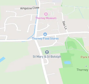
map for Thorney, Eye and Surrounding Areas Food Bank

Near Thorney, Eye …

  1. Retail Stores
  2. 3.4 miles ★★★★★Eurogarages Ltd, PE67TN
  3. 3.7 miles ★★★★★New Toll Service Station (North), PE134AT
  4. 3.8 miles ★★★★★New Toll Service Station North, PE134AT
  5. 4.0 miles ★★★★★Mahal Stores Ltd, PE60BA
  6. 4.2 miles The 1:1 Diet by Cambridge Weight Plan, PE60AG
  7. 4.2 miles ★★★★★Nisa Local Store, PE71XU
  8. 4.4 miles ★★★★West End Stores, PE71LS
  9. 4.5 miles ★★★★★The Muffin Oven, PE71HA
  10. Care Facilities
  11. 0.3 miles ★★★★★Smiley Faces Day Nursery, PE60QE
  12. Restaurants & Cafés
  13. 1.7 miles ★★★★★The 19th Hole, PE60TJ
  14. School Food Ratings
  15. 0.1 miles ★★★★★Park House School, PE60SA
  16. 0.3 miles ★★★★★B & T Club, PE60ST
  17. 0.3 miles ★★★★★Duke of Bedford Pre-School, PE60ST
  18. 0.3 miles ★★★Dolce Education Catering at Duke of Bedford Primary school, PE60ST
  19. Chemists
  20. Halls The Chemist, PE60QB
  21. Doctors
  22. 0.2 miles Jenner Healthcare, PE60SD
  23. Schools
  24. 0.2 miles Park House, PE60SA (23 pupils)
  25. 0.9 miles Calman Colaiste (Kisimul Group), PE60TD
  26. Schools Primary
  27. 0.4 miles The Duke of Bedford Primary School, PE60ST (214 pupils)
  28. 3.4 miles Eye CofE Primary School, PE67TD (443 pupils)
  29. 4.1 miles Alderman Jacobs School, PE71XJ (674 pupils)

See all Retail Stores in Thorney.