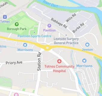
Totnes Community Hospital
Totnes Community Hospital
Coronation Road
Totnes
TQ95GHFood rating:
★★★★★
5/5 stars
Updated:
Food rating:
★★★★★
5/5 stars
Updated:
See all Care Facilities in Totnes.