BLOCLEats

Twelvetrees

Twelve Trees
17 Priory Road
Sharrow
Sheffield
S71LW

Food rating: ★★★★★ 5/5 stars
Updated: 16. February 2024

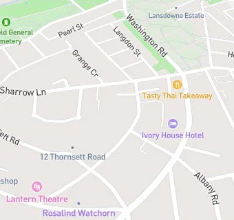
map for Twelvetrees

Near Twelvetrees

  1. Care Facilities
  2. 0.3 miles ★★★★★Kenwood Nature Nursery, S118FT
  3. 0.4 miles ★★★★★Southcroft, S118YL
  4. 0.4 miles ★★★★★Sheffield Children's Centre, S24SR
  5. 0.5 miles ★★★★★Prior Bank House, S119AB
  6. 0.6 miles ★★★★★Hallamshire Care Home, S102DN
  7. 0.6 miles ★★★★The Manse, S119AL
  8. 0.6 miles ★★★★★Wycliffe Independent Church, S118QF
  9. 0.7 miles ★★★★★Michael Carlisle Centre, S119BF
  10. Restaurants & Cafés
  11. 0.2 miles ★★★★★Food Works Sharrow, S71DB
  12. 0.2 miles ★★★★★ShipShape Health & Wellbeing, S118AE
  13. Retail Stores
  14. 0.1 miles ★★★Empire Hospitality & Retail Ltd, S118AN
  15. School Food Ratings
  16. 0.2 miles ★★★★★Waterfall Elior, S71BE
  17. 0.2 miles ★★★★★Sharrow School, S71BE
  18. Chemists
  19. 0.1 miles Sharrow Pharmacy, S71LJ
  20. Doctors
  21. 0.1 miles Sharrow Lane Medical Centre, S118AN
  22. 0.1 miles Sharrow Lane Medical Centre, S118AN
  23. Schools
  24. 0.3 miles Brantwood Specialist School, S71NU (53 pupils)
  25. 0.5 miles Kenwood Academy, S71HQ (176 pupils)
  26. Schools Primary
  27. 0.2 miles Sharrow Nursery, Infant and Junior School, S71BE (527 pupils)
  28. 0.4 miles Porter Croft Church of England Primary Academy, S118JN (212 pupils)
  29. 0.5 miles Lowfield Community Primary School, S24NJ (406 pupils)