BLOCLEats

Uppertown Social Centre

Cullumbell Lane
Uppertown
Ashover
Chesterfield
S450JF

Food rating: ★★★★★ 5/5 stars
Updated: 3. October 2022

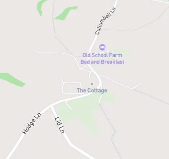
map for Uppertown Social Centre

Near Uppertown Social …

  1. Bars & Nightclubs
  2. 1.3 miles★★★Kelstedge Inn, S450DX
  3. 1.5 miles★★★★Stanedge Golf Club, S450LW
  4. 1.5 miles★★★★★Peak Edge Hotel And Red Lion Restaurant, S450LW
  5. 2.1 miles★★★The Black Swan, S450AB
  6. 2.1 milesThe Crispin Inn, S450AB
  7. 2.1 miles★★★★Old Poets Corner, S450EW
  8. 2.3 miles★★★★★Ashover Cricket Club, S450BA
  9. 2.7 miles★★★★★Bulls Head, S427EW
  10. Food Trucks
  11. 1.0 mile★★★★★Dinning Alfresco - Cakes And Coffee,
  12. Catering Services
  13. 1.3 miles★★★★★Highfield House Tea Rooms,
  14. Restaurants & Cafés
  15. 0.9 miles★★★★★Matlock Farm Park Ltd, DE45LH
  16. 0.9 miles★★★★★Oaks Lane Farm, S450HR
  17. 1.0 mile★★★★★Dinning Alfresco - Hot Dog,
  18. 1.3 miles★★★★★Marsh Green Farm Shop, S450DX
  19. Retail Stores
  20. 0.1 miles★★★★★JW Bargains And General Store, S450JF
  21. 0.7 miles★★★★★Westwood Enterprises, S450JA
  22. Schools
  23. 2.2 milesEastwood Grange School, S450BA (45 pupils)
  24. Schools Primary
  25. 1.9 milesAshover Primary School, S450AU (216 pupils)
  26. 3.0 milesDarley Dale Primary School, DE42QB (204 pupils)
  27. 3.0 milesSt Joseph's Catholic Voluntary Academy, DE43FT (140 pupils)
  28. Schools Secondary
  29. 2.5 milesHighfields School, DE45NA (1321 pupils)

See all Bars & Nightclubs in Ashover.