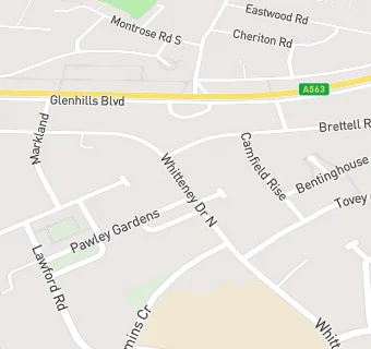
BLOCLEats

VISTA

Street Record
Whitteney Drive North
Leicester

Food rating: ★★★★★ 5/5 stars
Updated: 23. July 2024

Food ratings

Confidence in management: 5
Hygiene: 5
Structural: 5

map for VISTA

Near VISTA

  1. Care Facilities
  2. 0.1 miles★★★★★VISTA, LE29AH
  3. 0.1 miles★★★★★VISTA, LE29AH
  4. 0.2 miles★★★★★Cooper House, LE29BT
  5. 0.3 miles★★★★★Magnolia Residential Home, LE28PN
  6. 0.3 miles★★★★★Sturdee Community Hospital, LE29FS
  7. 0.4 miles★★★★★Everdale Grange, LE28PG
  8. 0.4 miles★★★★★Lady Jane Court, LE28PP
  9. 0.4 miles★★★★★Ivolve Lutterworth, LE28PG
  10. Logistics Providers
  11. 0.1 miles★★★★★Eyres Monsell Club For Young People Food Pantry, LE29AQ
  12. Bars & Nightclubs
  13. 0.2 miles★★★★Scarlet Pimpernel, LE29AW
  14. Restaurants & Cafés
  15. 0.1 miles★★★★★Thelma's Kitchen, LE29AQ
  16. School Food Ratings
  17. 0.1 miles★★★★★Eyres Monsell Primary School, LE29AH
  18. 0.1 miles★★★★★Willow Bank School, LE29AH
  19. Doctors
  20. 0.2 milesThe Hedges Medical Centre, LE29BU
  21. 0.2 milesPasley Road Health Centre, LE29BU
  22. 0.2 milesThe Hedges Medical Centre (Sa Bailey), LE29BU
  23. Schools All Through
  24. 0.6 milesTudor Grange Samworth Academy, A church of England School, LE26UA (1008 pupils)
  25. Schools Primary
  26. 0.1 milesEyres Monsell Primary School, LE29AH (426 pupils)
  27. 0.4 milesMontrose School, LE28TN (462 pupils)
  28. 0.5 milesRolleston Primary School, LE29PT (427 pupils)
  29. 0.6 milesHoly Cross Catholic School, a Voluntary Academy, LE26TY (222 pupils)