BLOCLEats

W H Smith

Unit 2
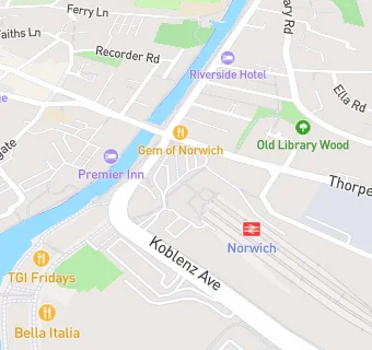
Norwich Railway Station
Station Approach
Norwich
NR11EG

Food rating: ★★★★★ 5/5 stars
Updated: 9. August 2023

map for W H Smith

Near W H …

  1. Retail Stores
  2. 0.2 miles★★★★★Gravity Fitness Ltd, NR11WX
  3. 0.2 miles★★★★Rosary Road Convenience Store, NR14DA
  4. 0.2 miles★★★★★B\&M Retail Ltd, NR11WR
  5. 0.2 milesMPS Stores, NR11LT
  6. 0.2 milesPrince Store, NR11DG
  7. 0.3 miles★★★★★Boots UK Ltd, NR11WR
  8. 0.3 miles★★★★★Castle Service Station, NR11PN
  9. 0.3 miles★★★★Clarens Food And Wine Ltd, NR11LG
  10. Restaurants & Cafés
  11. ★★★★★Costa Coffee, NR11EF
  12. ★★★★AMT Coffee, NR11EF
  13. 0.1 miles★★★Mr Mulligans, NR11WZ
  14. 0.1 miles★★★★Hollywood Bowl, NR11WZ
  15. 0.1 miles★★★★★Labyrinth, NR11PY
  16. Supermarkets
  17. ★★★★Co-op Foodstore, NR11EG
  18. Takeaway Shops
  19. ★★★★Subway, NR11EF
  20. ★★★★★Abellio Greater Anglia, NR11EF
  21. Schools
  22. 0.4 milesNorwich School, NR14DD (1194 pupils)
  23. 0.5 milesNorwich University of the Arts, NR24SN
  24. Schools Primary
  25. 0.1 milesCharles Darwin Primary School, NR11DJ (466 pupils)
  26. 0.5 milesLionwood Infant and Nursery School, NR14AN (210 pupils)
  27. Schools Secondary
  28. 0.5 milesNotre Dame High School, Norwich, NR13PB (1597 pupils)

See all Retail Stores in Norwich.