BLOCLEats

Westbury Community Shop And Cafe

The Pavillion
Playing Field Road
Westbury
Buckinghamshire
NN135JN

Food rating: ★★★★★ 5/5 stars
Updated: 1. November 2024

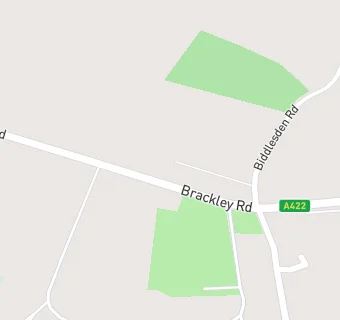
map for Westbury Community Shop And Cafe

Near Westbury Community …

  1. Restaurants & Cafés
  2. 0.5 miles★★★★★Bon Appetit - A422, NN135JH
  3. 1.3 miles★★★★★The Flight Deck Cafe, NN135YD
  4. 1.6 miles★★★★★Turweston Stables Cafe, NN135JX
  5. 1.8 miles★★★★★Olive Catering Services Ltd, NN137EX
  6. 1.9 miles★★★★★Nibbles Brackley, NN137BE
  7. 2.0 miles★★★★★Artizian Catering Ltd, NN137BD
  8. 2.1 miles★★★★★Tasty Thymes, NN137EJ
  9. 2.2 miles★★★★★Old Fire Station Coffee Shop and Websters Events, NN137DW
  10. Food Trucks
  11. 1.3 miles★★★★★Hotel Bell Tent, NN135YD
  12. 1.4 miles★★★★★Event Street Food, NN135JB
  13. 1.8 milesRapid Relief Team, NN137BE
  14. Bars & Nightclubs
  15. 0.1 milesWestbury Village Club, NN135JR
  16. 1.5 miles★★★The Stratton Arms, NN135JX
  17. 2.0 miles★★★★★Brackley Tennis Club, NN137EB
  18. Retail Stores
  19. 1.3 miles★★★★★Mellow Meats Ltd, NN135YD
  20. School Food Ratings
  21. 0.3 miles★★★★★Beachborough School, NN135LB
  22. Schools
  23. 0.3 milesBeachborough School, NN135LB (392 pupils)
  24. 2.2 milesWinchester House School, NN137AZ (319 pupils)
  25. Schools Primary
  26. 2.3 milesFinmere Church of England Primary School, MK184AR (44 pupils)
  27. 2.3 milesBrackley Church of England Junior School, NN136EE (184 pupils)
  28. 2.4 milesWaynflete Infants' School, NN136AF (150 pupils)

See all Restaurants & Cafés in Brackley.