BLOCLEats

Westerhope Excelsior Social Club

Ivy House Wheatfield Road
Westerhope
Newcastle Upon Tyne
NE55HQ

Food rating: ★★★★★ 5/5 stars
Updated: 25. September 2023

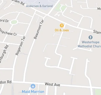
map for Westerhope Excelsior Social Club

Near Westerhope Excelsior …

  1. Bars & Nightclubs
  2. 0.2 miles★★★★★The Hillheads, NE55QA
  3. 0.4 miles★★West Denton Social Club, NE52QZ
  4. 0.7 miles★★★★★The Chapel Park Public House, NE51TE
  5. 0.7 miles★★★★★The Jingling Gate, NE51NL
  6. 0.8 miles★★★★★The Peregrine, NE55AP
  7. 0.9 miles★★★★★Slatyford Tenants Association, NE52SS
  8. 0.9 miles★★★★★The Bear and Barrel, NE51DT
  9. 0.9 miles★★★★★Blakelaw Social Club, NE53SW
  10. Care Facilities
  11. 0.1 miles★★★★★Wheatfield Court, NE55HQ
  12. Restaurants & Cafés
  13. 0.1 miles★★★★★Oli And Joes, NE55HB
  14. Retail Stores
  15. 0.1 miles★★★Westerhope Convenience Store, NE55HL
  16. 0.1 miles★★★★★Sweet Stop, NE55HL
  17. 0.1 miles★★★★★Maid Marion Foodstore And Off-Licence, NE55JH
  18. Takeaway Shops
  19. 0.1 miles★★★★★Domino's Pizza, NE55HL
  20. 0.1 miles★★★★★Lotus Chop Suey House, NE55HL
  21. 0.2 miles★★★★★I Fry A&P Ltd, NE55HH
  22. Schools
  23. 0.2 milesMary Astell Academy, NE52LW (67 pupils)
  24. 0.2 milesThomas Bewick School, NE52LW (337 pupils)
  25. Schools Primary
  26. 0.3 milesBeech Hill Primary School, NE52LW (447 pupils)
  27. 0.4 milesSt Mark's Catholic Primary School, Westerhope, NE54BT (210 pupils)
  28. Schools Secondary
  29. 0.3 milesStudio West, NE52SZ (555 pupils)

See all Bars & Nightclubs in Newcastle upon Tyne.