BLOCLEats

Wheatsheaf

Wheatsheaf Inn
Great Lime Road
Palmersville
NEWCASTLE UPON TYNE
NE129SU

Food rating: ★★★ 3/5 stars
Updated: 30. August 2023

Food ratings

Confidence in management: 10
Hygiene: 10
Structural: 10
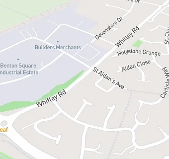
map for Wheatsheaf

Near Wheatsheaf

  1. Bars & Nightclubs
  2. 0.3 miles★★★★★Holystone Park Cookhouse And Pub, NE270UN
  3. 0.6 miles★★★★★Allotment Social Club And Institute Ltd, NE270DN
  4. 0.7 miles★★★★★The Pavilion, NE270FG
  5. 0.8 miles★★★★★Forest Hall Young People's Club, NE129HW
  6. 1.0 mile★★★★★The Bush, NE289UY
  7. 1.0 mile★★★★★Forest Hall Working Men's Club, NE129DQ
  8. 1.1 miles★★★★★Forest Hall Ex Servicemen Institute, NE129AR
  9. 1.1 miles★★★★★The Clousden Hill, NE127BR
  10. Care Facilities
  11. 0.3 miles★★★★★Holystone Out Of School Club, NE270DA
  12. 0.4 miles★★★★★Tim Lamb Centre, NE129SS
  13. Restaurants & Cafés
  14. 0.3 miles★★★★★McDonalds, NE129SR
  15. 0.4 miles★★★★★Rising Sun Country Park Restaurant, NE129SS
  16. Retail Stores
  17. 0.4 miles★★★★★Holystone Filling Station Londis, NE270DA
  18. Supermarkets
  19. 0.3 miles★★★★★Asda Stores, NE129SJ
  20. School Food Ratings
  21. 0.3 miles★★★★★Holystone Primary School, NE270DA
  22. Chemists
  23. 0.3 milesAsda Pharmacy, NE129SJ
  24. Schools
  25. 0.9 milesParkside House School, NE270AB (54 pupils)
  26. Schools Primary
  27. 0.3 milesHolystone Primary School, NE270DA (463 pupils)
  28. 1.0 mileIvy Road Primary School, NE129AP (186 pupils)
  29. 1.0 mileHadrian Park Primary School, NE289RT (421 pupils)
  30. 1.1 milesShiremoor Primary School, NE270PW (384 pupils)

See all Bars & Nightclubs in Newcastle upon Tyne.