White House Curdridge
White House Curdridge
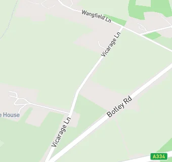
The White House
Vicarage Lane
Curdridge
Southampton
SO322DPCurdridge
Southampton
Food rating:
★★★★★
5/5 stars
Updated:
Food rating:
★★★★★
5/5 stars
Updated:
See all Care Facilities in Curdridge.